
Travel Date: August 6, 2021
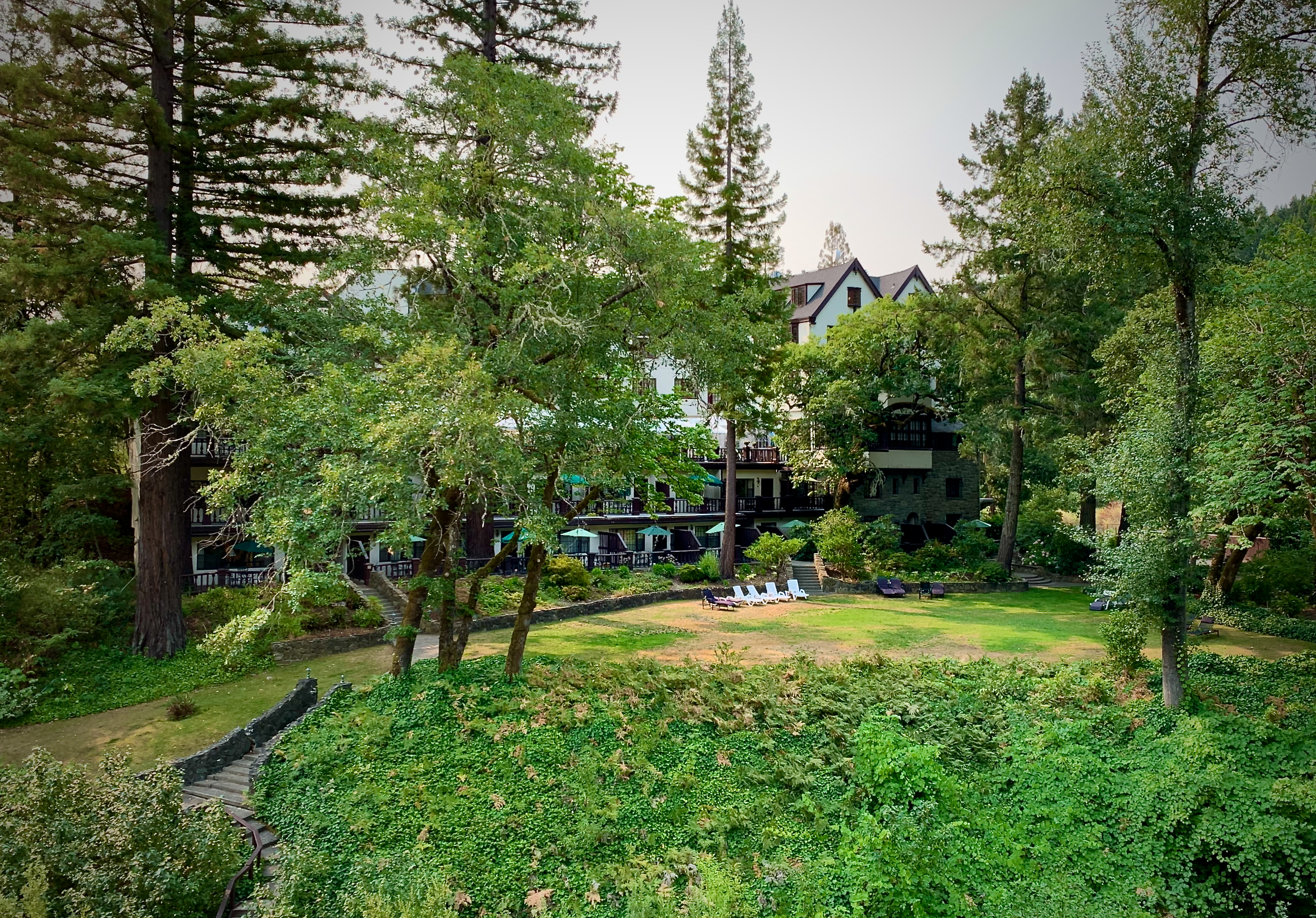
After our short hikes and extended travel time in the northern redwoods we made it to our hotel: the lovely Benbow Historic Inn. It was a warm evening so it was nice to have dinner on the covered patio. As a starter course we had a watermelon and ginger cold soup; it was bright and refreshing – spoiler alert we had it the second night of our stay also. I swear I took some pictures of the front of the hotel but I cannot find th em. Here is a picture from the west (?) side.
The hotel is just off US Highway 101 a short distance from the southern entrance to the Avenue of the Giants (highway 254) – 30+ mile (˜50 kilometer) highway through the redwoods. Driving, looking, hiking along the Avenue was the order of the day. I’ll include GPS coordinates where I have them.
Our first stop was Bolling Grove near Elk Creek RD and Highway 254. With all the foliage and tall trees it was very shady, but every so often the sun would shine through onto a tree like a spotlight.

It’s the redwoods so you know I’ll include pictures trying to capture the grandeur and size of these beauties. Here I’m looking up into the canopy.

In my post about our 2017 trip to Sequoia National Park I told how people in the midwest thought stories of the trees’ size were a hoax. These trees are no joke. I liked this cross section of a downed redwood at the Humboldt Redwoods State Park Visitor Center with historical markings.

A closer view. Click on it to read the dates: 1096 to 1928 (and that’s not even the entire tree!).

We hiked a loop trail that went out to the South Fork Eel River. Poor California has been hard hit by the drought.

Along the trail is this downed tree.

With all that shade ferns are a given.

We stopped for lunch in a little town at the northern end of the Avenue for lunch; it was forgettable. Afterward we stopped at Pepperwood where we walked on the 2½ mile Drury Chaney Trail. This is why we wanted to visit the redwoods.

If I see an old bridge on a trail, I’m probably going to take its picture.

I’m a sucker for highlighted foliage in the shady forest. Carla gets just a bit exasperated because I have to adjust the exposure bias a few times to get just the light on the leaves rather than the entire scene (same as in the first picture of the post).

I’m also a fan of the huge burls on redwood trees. This one looks like a giant beaver got caught in the left side of the tree with his arms and paws breaking free.
